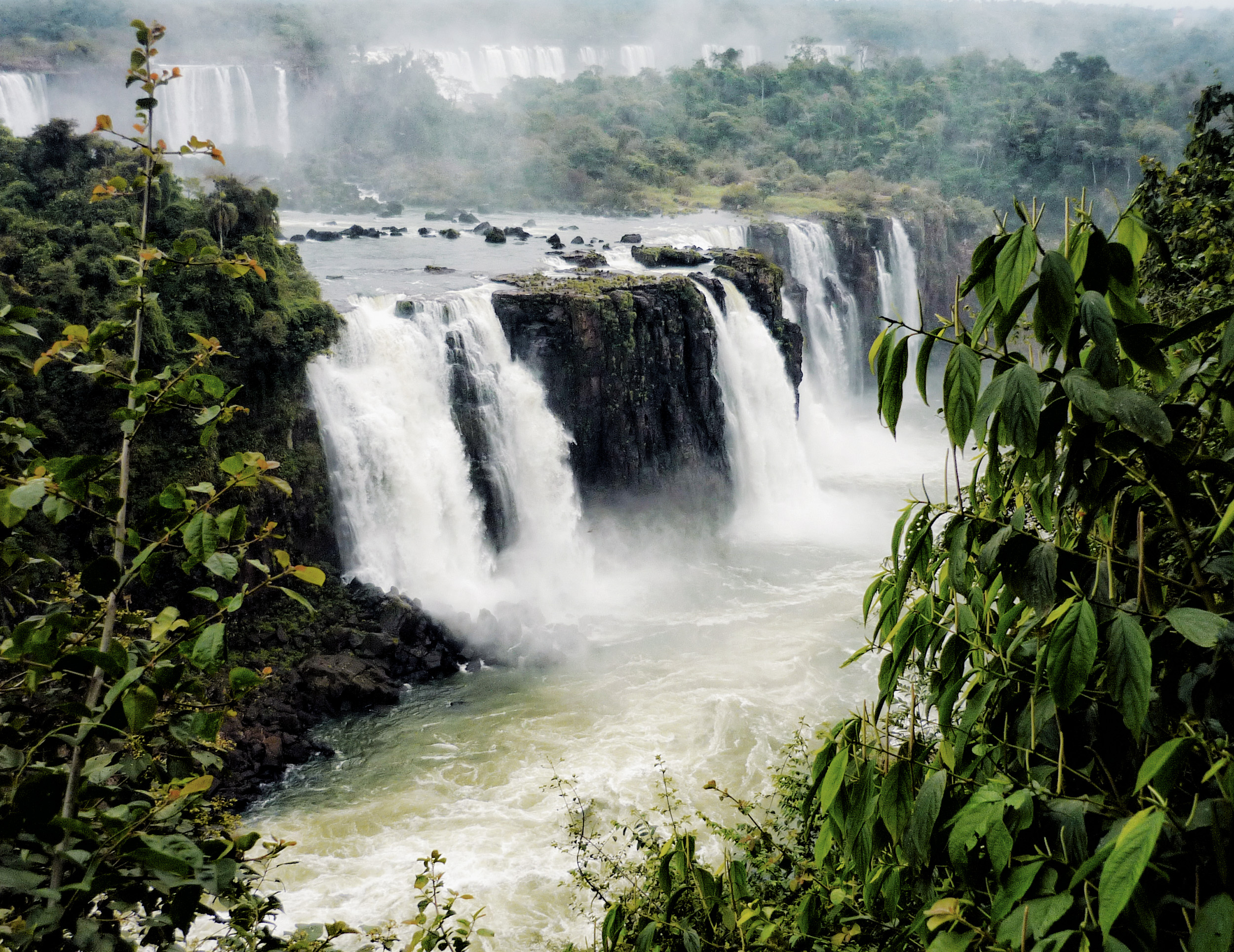
 The Iguazú Falls, near the point where the borders of Argentina, Paraguay, and Paraná meet.
The state of Paraná lies in the southern corner of Brazil and shares a border with Argentina and Paraguay. In the east, the Serra do Mar mountain range runs along the state’s short strip of Atlantic coastline. To the west of these mountains, a series of plateaus step down to the Paraná River, which marks the border with Paraguay.
Settlers first colonised Paraná in the seventeenth century, largely keeping to coastal areas and the region around the present-day state capital of Curitiba. The rest of Paraná remained sparsely populated until the 1940s, when coffee plantations began to spread from neighbouring São Paulo into the northern part of the state, bringing railway lines and waves of immigrant workers with them (Rolim 2005).
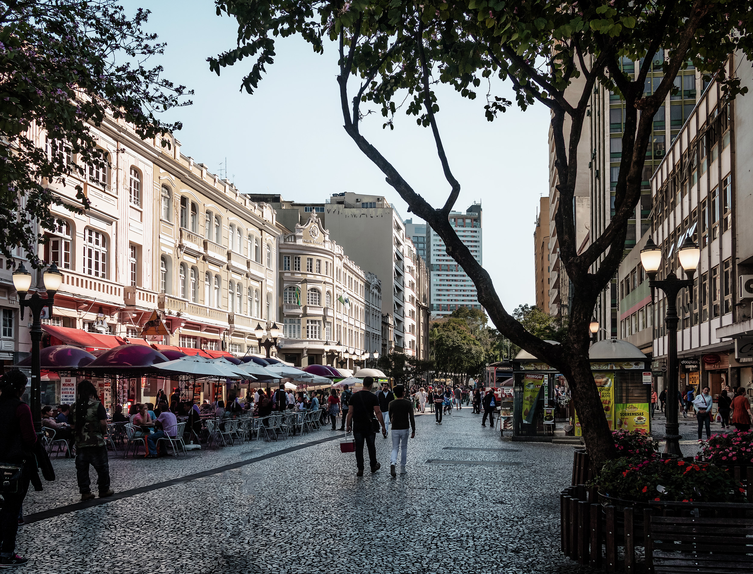
 Rua das Flores in Curitiba, the state capital.
The new industry grew rapidly and by the beginning of the 1960s Paraná had become the most important coffee-growing region in Brazil, responsible for more than half the country’s production. However, in 1975 disaster struck. The ‘Great Black Frost’ of that year completely destroyed the coffee crop in the state, which went from producing 11.7 million bags of coffee one year to virtually none in the next (AEAANP 2018).
Already hit by declining coffee prices, Paraná’s struggling coffee farmers switched to producing soybean and grain crops, helped by government subsidies. Further frosts and rising labour costs discouraged farmers from returning to coffee cultivation in the following decades. Instead, Paraná became one of Brazil’s most important soya and grain producers, and coffee was all but abandoned.
Farmers began to return to coffee-growing in Paraná in the early 2000s, with support from the local government. Growers adopted more-efficient production methods and high planting densities and focussed on producing coffee for the specialty market. Paraná is the southernmost coffee-growing region in Brazil, and perhaps the world.