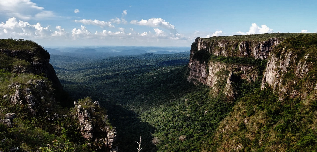
 Pacaás Novos National Park in Rondônia. Photo: Thiago Laurencio, published under a Creative Commons licence.
Rondônia lies in the west of Brazil, at the border with Bolivia. Formerly part of the huge state of Amazonas to the north, Rondônia was established as an independent state in 1982. It is situated at the southern edge of the Amazon rainforest, and tropical vegetation still covers much of its land area. However, as a result of logging, cattle ranching, and mining, Rondônia is one of the most heavily deforested sites in the Amazon (LCLUC 2009).
In the late nineteenth and early twentieth centuries, the Rondônian rainforest was an important source of rubber, but the industry collapsed after entrepreneurs established commercial rubber plantations in Malaysia and Sri Lanka. From the 1970s onwards, large areas of rainforest in the state began to be cleared. In an attempt to alleviate poverty among drought-stricken farmers in Brazil’s northeast, the government offered free land to any settlers who would come and clear the forest for agriculture. After the agricultural community had developed, mining, logging, and industrial-scale agriculture followed, contributing to the state’s high deforestation rate.
Although coffee might have been grown in the state as early as the eighteenth century, the first commercial coffee plantations arrived in the 1960s, established by farmers migrating from Paraná, Minas Gerais, and Espírito Santo (De Morais et al 2021). These settlers brought arabica, robusta, and conilon to the region.
In Rondônia’s warm, wet climate, Coffea canephora proved to be the most successful. Toay, the coffee produced in Rondônia is nearly all canephora, mostly grown on small family farms. An arabica variety that can grow in the region is being developed, however (Embrapa Rondônia 2017).
In recent years, the productivity of farms in the state has increased greatly. The amount of coffee produced per hectare more than doubled between 2013 and 2018,